Description
- Complete coverage of 110 sites, including over 500 alternatives
- The most current information based on exhaustive research
- Illustrated maps showing the relevant free-flying details
- Official launch and landing areas, with GPS coordinates
- Expert guidance on flying, XC routes, cautions and tips
- Accommodation, directions, contact details and useful info
- Alternative sporting and cultural activities in every area
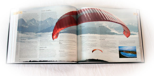
- Large format photos on art paper; beautifully bound in hardcover
Rewiew by Ed Ewing
The book looks great. It’s hardback, 300 pages, stitched together (no nasty glue-binding to collapse leaving a sheaf of loose pages), well printed with good colours and beautiful photographs. Many of the photographers will be familiar names to XCmag readers: Martin Scheel, Olivier Laugero, Andy Busslinger plus more than a dozen others.
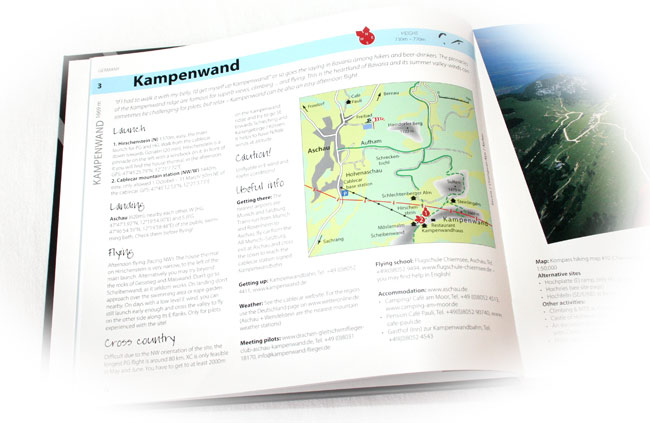
The layout is simplicity itself. The first two pages display a map of the Alps with 110 dots on it. The sites are presented by country, and there is a good spread. There are 22 sites listed in France for example, although we know there are hundreds these are the main ones: Chamonix, Annecy, Laragne, St Andre etc.
Each site has at least two pages dedicated to it. All the basics are there: launch, landing, dangers, XC potential, getting there, getting to launch, flying schools, weather, tourism info. Alternative sites are also listed, with websites and phone numbers. Importantly, each site has its own map, too. These show wind directions for takeoffs, landings and important places like camping sites and supermarkets.
What’s the info like? It’s all good. A general overview is followed with more detailed information. Looking at the sites I know gave me confidence and I nodded along to descriptions and recommendations.
Some of the language is a bit floral: ‘A flying holiday of freedom, sensory stimulation and indulgence’ is a bit much. But that doesn’t put you off – otherwise it is laid out properly and readable…
One other observation is it is fat and heavy. It’s not like a Lonely Planet guidebook, it’s more like a coffee table book or a full-colour textbook. The idea I suppose is you have this collector’s edition for your bookshelf, or the car, and you download the digital version to your smartphone, which you take with you.
